

|


|
|
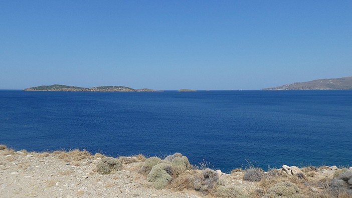
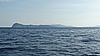
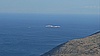
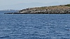
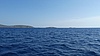
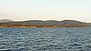
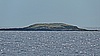
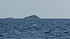
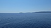
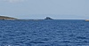
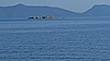
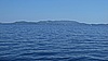
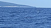
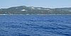
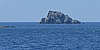
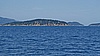
Not visited Islands Sailing in the Aegean sea from Volos town to Lavrio town → Greece, 15—22 July 2019 “2019 - 06 - 20 10 - 41 - 25 - - DC ZS70 - - Bozhidar Iliev”, Date: 2019:06:20, Time: 10:41:25 (No. 1 of 1) |
|
|
|
|
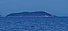
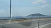
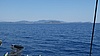
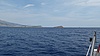
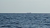
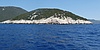
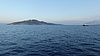
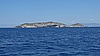
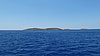
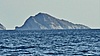
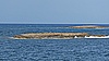
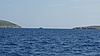
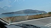
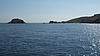
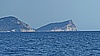
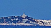
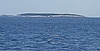
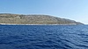
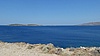
| Not visited Islands Sailing in the Aegean sea from Volos town to Lavrio town → Greece, 15—22 July 2019 |
 |
 |
 |
 |

|

| 
| ||
| 
| ||

| 
| ||
| 
| ||
| 
| ||
| 
| ||
| 
| ||

| 
| ||
| 
| ||
| 
| ||

| 
| ||
| 
| ||
| 
| ||
| 
| ||
| 
| ||
| _38°47.611'N_24°30.985'E/Images-Thumbnails/tn_2019-06-18_17-14-02--DC_ZS70--Bozhidar_Iliev.jpg)
| ||
| 
| ||
| 
| ||
| 
| ||
| 
| ||
| 
| ||
| 
| ||
| 
| ||

| 
| ||
|
 |
|
|
|
|
Not visited Islands Sailing in the Aegean sea from Volos town to Lavrio town → Greece, 15—22 July 2019 “2019 - 06 - 20 10 - 41 - 25 - - DC ZS70 - - Bozhidar Iliev”, Date: 2019:06:20, Time: 10:41:25 (No. 1 of 1) |